DXF to KML (Web)
Convert DXF drawings to KML for Google Earth, with a folder per layer.
Upload a DXF drawing; the tool suggests a coordinate system when it is unknown.
The KML is organized with one folder per drawing layer and opens straight in Google Earth.
Every browser gets 5 free uses per tool. One access code unlocks every AF Survey tool: many points at once, file import and export.
Specs
- Code
- AF-W03
- Type
- Platform
- Access
- Free and Pro
- Runs in
- Browser and phone, no install
- Free
- 5 uses per tool
- Full
- One code for the whole platform
More in this section
-
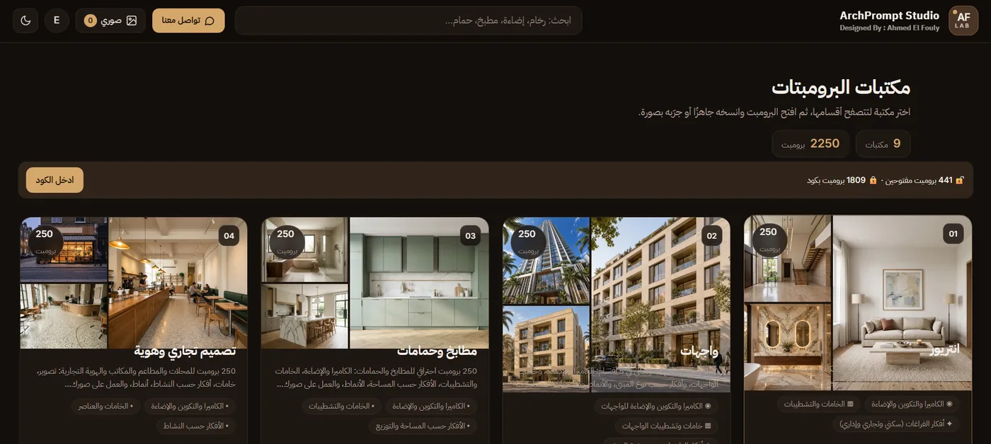
ArchPrompt Studio
A professional prompt library for architects and designers, with variables you control and built-in test image generation.
-
AF Kitchen Studio
A kitchen planning studio. A licensed professional edition opened with an access code; the period starts on first activation.
-
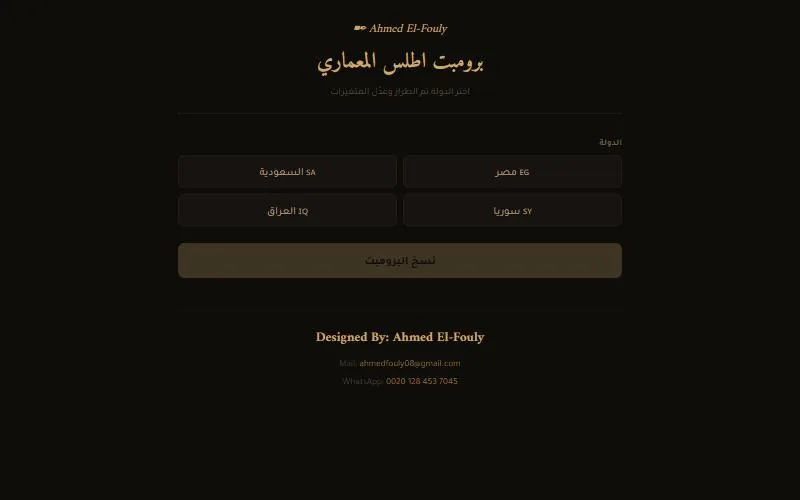
ArchAtlas
A prompt generator for vernacular architecture in Egypt, Saudi Arabia, Syria and Iraq.